Monday Musing
[ Bengia Ajum ]
When the Nah Welfare Society (NWS) first claimed that the Chinese PLA had captured Indian territory in the Taksing area of Upper Subansiri district, many expected the Government of India to dismiss the allegation. As expected, the Indian Army has firmly rejected the claim, calling it baseless. However, the NWS has stood by its statement, maintaining that it did not share any misinformation.
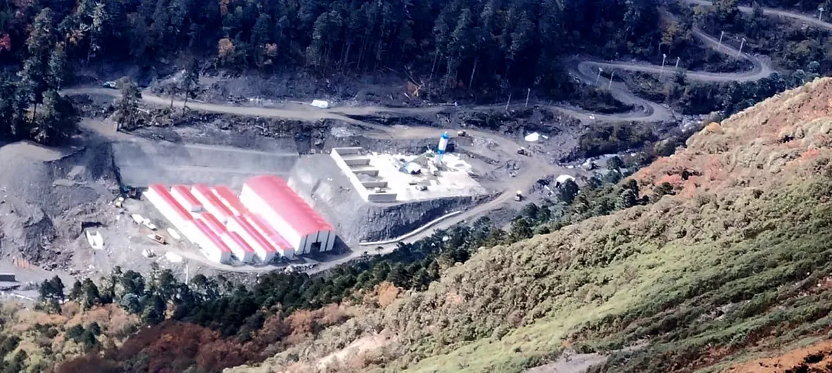
The society shocked the nation by alleging that areas such as Oying (2445) in the Asaphila area, Paniar (Chujarta area), Marpan (Marnafe), Portrang (Lake), and Tingdingtang (TG), all located close to Taksing, had been captured by the PLA, which had also established a military camp there. The society wrote to the deputy commissioner of Upper Subansiri district regarding the matter, and the letter soon went viral after being picked up by the media.
This is not the first time that such a controversy has emerged. Earlier, in Ladakh, residents alleged that the PLA had occupied Indian territory, while the government dismissed those claims. Ladakhi herders claimed that after the 2020 Galwan clash, they could no longer access certain areas where they had traditionally taken their livestock for grazing.
So why do these conflicting narratives keep appearing? Is there a difference between how local communities and the Government of India interpret the McMahon Line and other border alignments? Or are there other factors at play? The perception of local communities, whether in Ladakh or Arunachal Pradesh, regarding the India-China border often appears quite different from that of the Government of India.
Over the last few days, as the Taksing issue took centrestage, social media was flooded with opinions and information. One of the most interesting posts came from Gandhi Mra, a resident of Limeking. Writing on Facebook, he claimed that Longju, which is presently administered as part of Shannan prefecture in the Tibet Autonomous Region of China, was once part of Upper Subansiri, where members of the Tagin tribe lived. He wrote about how his ancestors once lived in Longju but can no longer visit the area because it is now under Chinese control.
His post, in a way, explains why there is a difference in perception between the Government of India and local communities when it comes to the India-China border. Local people have lived in these areas for generations and are familiar with the traditional boundaries. They are still holding onto the belief that the areas their ancestors once called home are still part of India.
However, much has changed since 1962. The McMahon Line, agreed upon by British India and the Tibetan government during the 1914 Shimla Convention, has never been accepted by China. After coming to power, Mao Zedong and the Chinese Communist Party rejected the agreement and claimed the whole of Arunachal as part of what they call ‘South Tibet’.
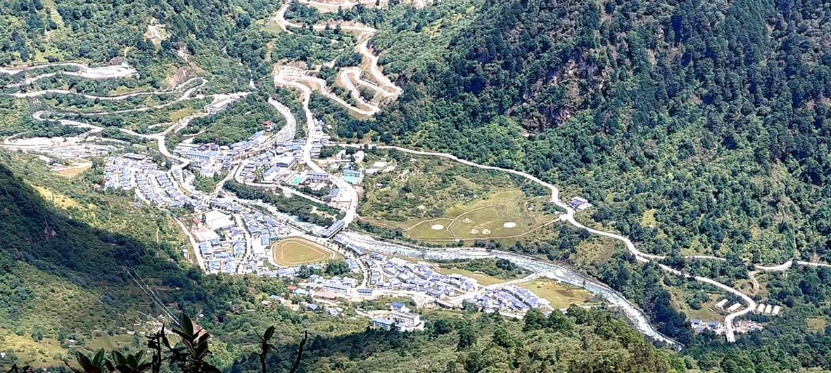
Longju remained under Indian administration until 1959. It lies about 2.5 kilometres south of Migyitun, which has traditionally been regarded as the historical border between Tibet and India. India considers Longju part of Upper Subansiri district, while China administers it as part of Shannan prefecture in the Tibet Autonomous Region. Tensions escalated after the 1959 Tibetan uprising, when India granted asylum to the 14th Dalai Lama. On 25 August, 1959, Chinese PLA forces attacked and occupied the Indian post at Longju. An estimated 200-300 PLA soldiers launched the assault, while only 11 Assam Rifles personnel were stationed there.
In 2020, China constructed a 100-house civilian village near the Longju area. While India has continued to respect the McMahon Line as the accepted boundary, China has consistently rejected it.
The example of Longju is significant because it illustrates the differing perceptions of the border between local communities and the Government of India. Whether those perceptions are legally, historically, or strategically correct is a matter of debate, but they cannot simply be ignored. The Government of India should not dismiss the concerns raised by local communities outright. Instead, such claims deserve careful verification and serious consideration, as the people living in these remote frontier areas often possess a far deeper understanding of the local geography and traditional routes than officials sitting in offices thousands of kilometres away in New Delhi.